
New maps online! 🗺️
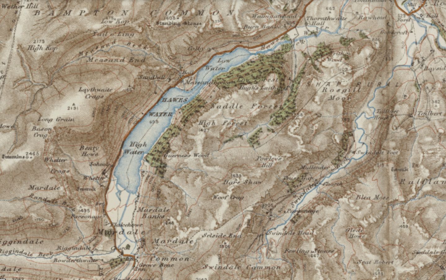
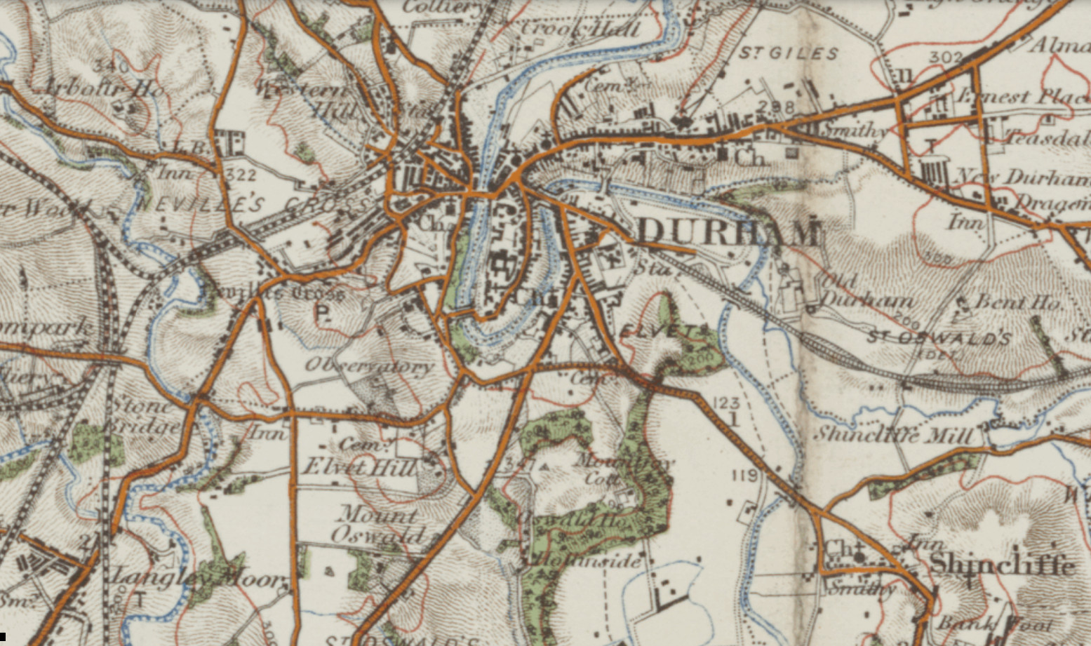
Ordnance Survey one-inch to the mile maps of England and Wales, published 1903-1920, are now online and available to explore. These detailed sheets provide a colourful overview of the early 20th century landscape ⛰️
Explore our recent maps additions > https://maps.nls.uk/additions/#175
Ordnance Survey one-inch to the mile maps of England and Wales, published 1903-1920, are now online and available to explore. These detailed sheets provide a colourful overview of the early 20th century landscape ⛰️
Explore our recent maps additions > https://maps.nls.uk/additions/#175
1 / 2
Comments
What's your favourite colourful map?
#Maps #England #Wales #History #OrdnanceSurvey #DigitalArchives
We're running a workshop on just that in Glasgow next week! There's still a few spots left > https://www.nls.uk/whats-on/maps-for-family-and-local-history-kelvin-hall/?date=26-2-2025