
This #MapMonday, explore our first edition 25-inch to the mile maps of Scotland.
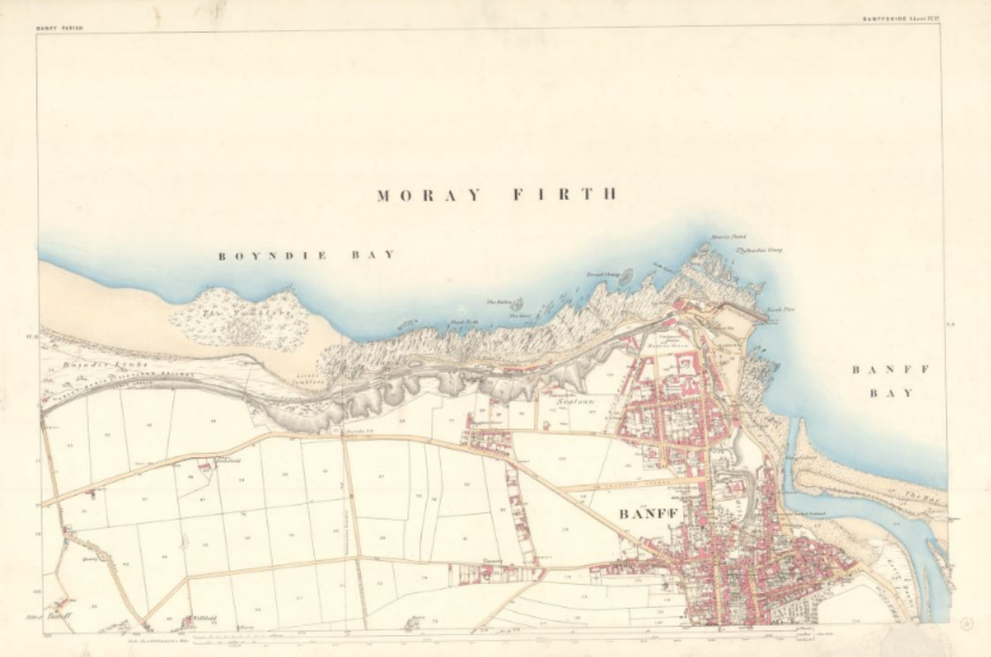
From 1855 to 1882, the Ordnance Survey charted more than a third of Scotland with this level of precision. The maps are clearly engraved, with vivid colours, as shown below.
Explore the maps > https://maps.nls.uk/os/25inch/
From 1855 to 1882, the Ordnance Survey charted more than a third of Scotland with this level of precision. The maps are clearly engraved, with vivid colours, as shown below.
Explore the maps > https://maps.nls.uk/os/25inch/
Comments