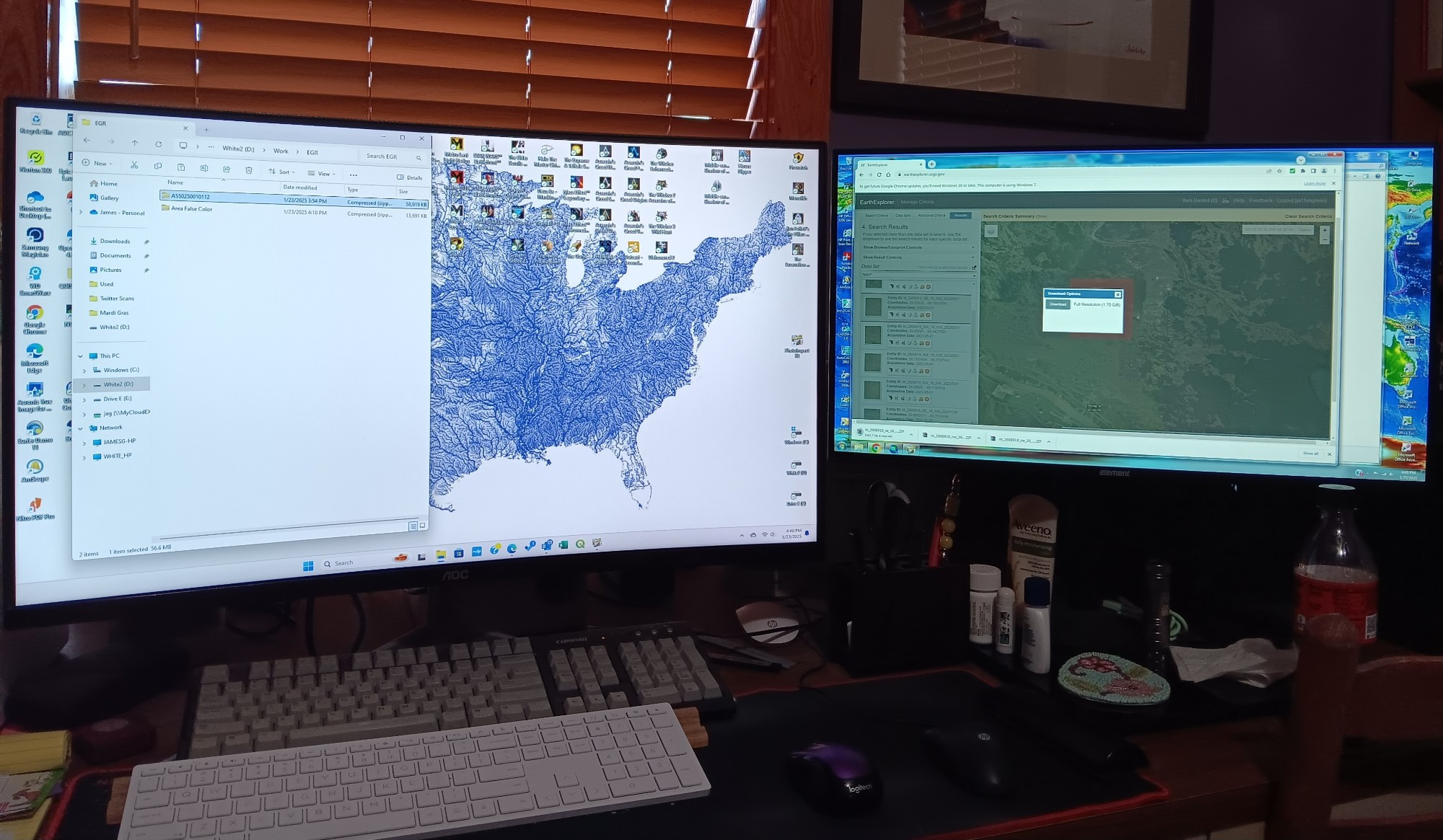
Eh, some of these aerials are over 1.8 GB. Looks like the total will be more like 9.6 GB. Then I have to mosaic those & export to a different projection balancing the 0.3 m resolution with file size to get the best image at the lowest file size. #GIS
Ended up being 10 GB of downloads to generate a 50 MB aerial image. Exported it at 800 DPI. Truthfully, there wasn't that much visual difference between 600 DPI (18.7 MB) & 800 DPI (49.85 MB).

Comments
Best kind of hours.