Profile avatar
stormchaserq.bsky.social
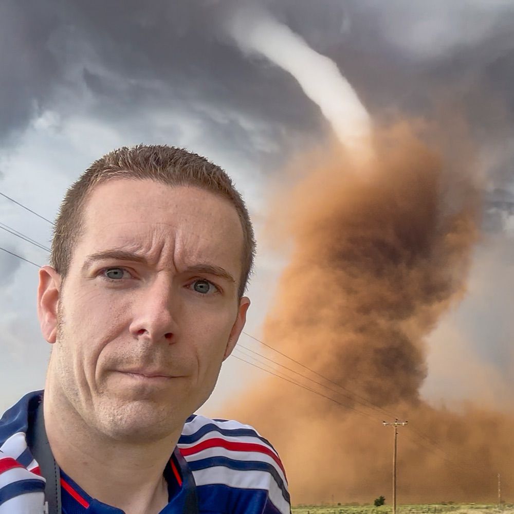
Meteorologist, storm chaser and photographer.
23 posts 280 followers 40 following
Regular Contributor

This was one of the most unique vantage points I’ve had of a tornado, in Beltrami Island State Forest last night. I watched this storm produce a few intermittent tornadoes in the secluded woods of northern Minnesota.

Alternate photos of the supercell that produced a few intermittent tornadoes between Grygla and Malcolm, MN. Between 7:21 and 7:34 PM. Found myself on a questionable road, standing on my car roof to see over the treeline. Got a car full of bugs too, but worth it! @NWSGrandForks

Earlier tornado and supercell structure in western Beltrami County, MN. This was at 7:34 pm in the woody marshlands, looking NW from near Malcolm, MN.

Big win for the eastern target storm chasers yesterday. Many factors/variables can make or break a storm chase. Risk tolerance, timing, logistics, personal biases, model preference, etc. Sometimes you’re right for the right reasons, wrong for the wrong reasons or anything in between.

Tornado-warned supercell thunderstorm near Reva, SD at 6:33 PM / 0033 UTC

18z subjective surface analysis. Very low confidence in convective evolution today with such a complex setup.

End of the road for this supercell storm chase in southwestern North Dakota

Earlier tornado SW of Dickinson, ND at 6:18 p.m.

Last night’s supercell near Strong City, OK, finally got around to editing the camera photos:

Supercell at sunset, looking north from Strong City, OK. 8:42 p.m.

Will be monitoring an effective warm front/modifying outflow boundary across northwestern Oklahoma today for possible storm development. CAMs have verified too aggressive thus far with northward progress.

Followed this grungy, tornado-warned supercell on the east side of the OKC metro area this afternoon. It never fully wrapped up, but had some gnarly structure. Near Harrah, OK:

The final moments of Sunday’s night tornado in Floyd, NM, as it roped out. An expansive bowl of dust lingered near the ground for several minutes after the visible circulation had lifted.

Condensed footage of yesterday’s tornado chase in Floyd, NM. First 17 minutes of the tornado shortened to 45 seconds from 5:18-5:35 p.m. Full video is up on YouTube: youtu.be/VLXkVJgogME

I’m trying to eventually transition to here from X. Thank you for the new followers and the interactions. Here’s another photo of tonight’s tornado in Floyd, NM.

Floyd, NM tornado sequence. Estimated start time was 5:18 p.m. and rope out at 5:40 p.m. Photos captured at 5:21, 5:25, 5:31 and 5:38 p.m. this evening.

youtu.be/KLbvXFiC8kw

Kit Carson, CO tornado sequence. Start time: 7:25 p.m., end time 7:33 p.m. to rope out.

Tornado near Kit Carson, CO a short time ago.

Earlier tornado-producing supercell near Arnett, OK at 6:03 p.m.

Hybrid landspout tornado SW of North Platte, Nebraska at 7:20 p.m.