
map of USA c1901
The Century Atlas of the World c1901 was at its publication one of the most expensive volumes ever to be printed.
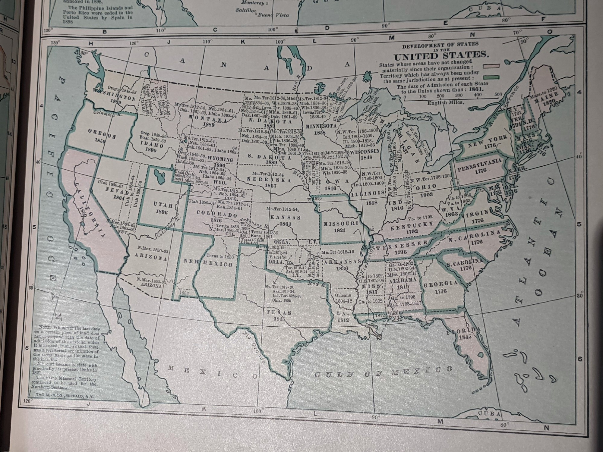
This map shows each state, including earlier names.
The Gulf of Mexico can clearly be seen - something collaborators Google Maps and Apple Maps seem to have forgotten.
The Century Atlas of the World c1901 was at its publication one of the most expensive volumes ever to be printed.
This map shows each state, including earlier names.
The Gulf of Mexico can clearly be seen - something collaborators Google Maps and Apple Maps seem to have forgotten.
Comments