
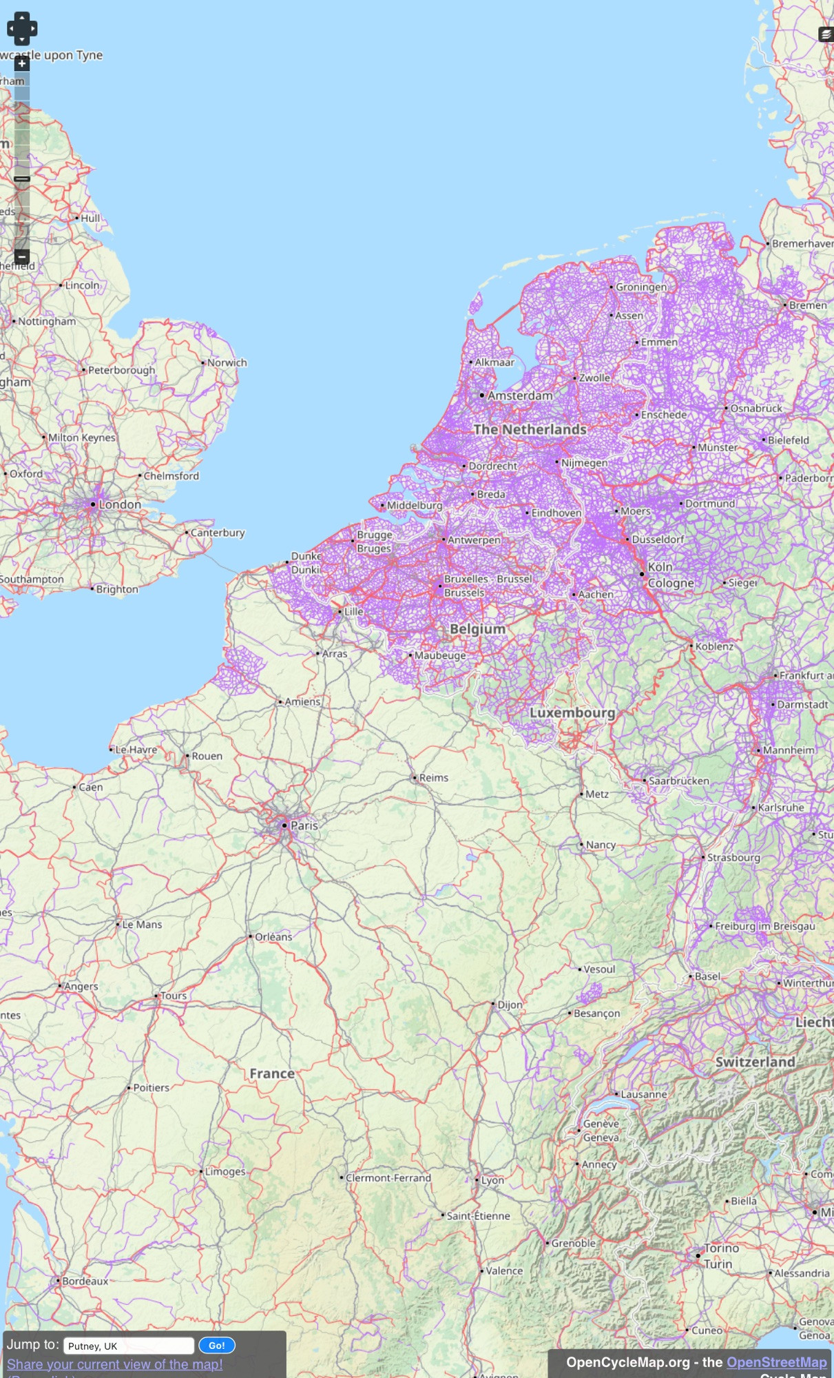
The interactive cycle map in Europe.
(Open street Map, Open data common ODbl & CC).
At low zoom levels it is intended for overviews of national cycling networks; at higher zoom levels it should help with planning which streets to cycle on, where you can park your bike and more.
https://www.opencyclemap.org
(Open street Map, Open data common ODbl & CC).
At low zoom levels it is intended for overviews of national cycling networks; at higher zoom levels it should help with planning which streets to cycle on, where you can park your bike and more.
https://www.opencyclemap.org
Comments