
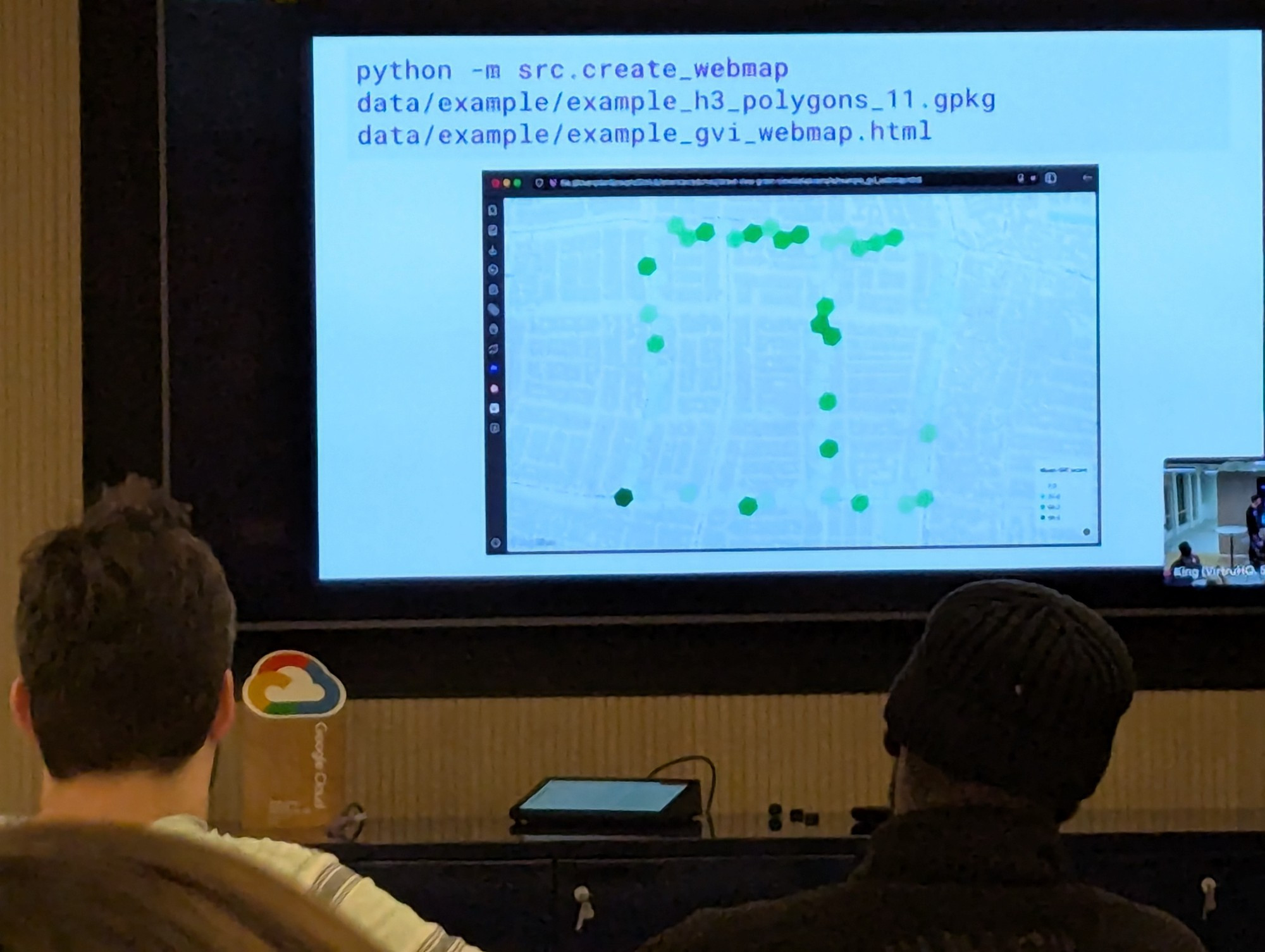
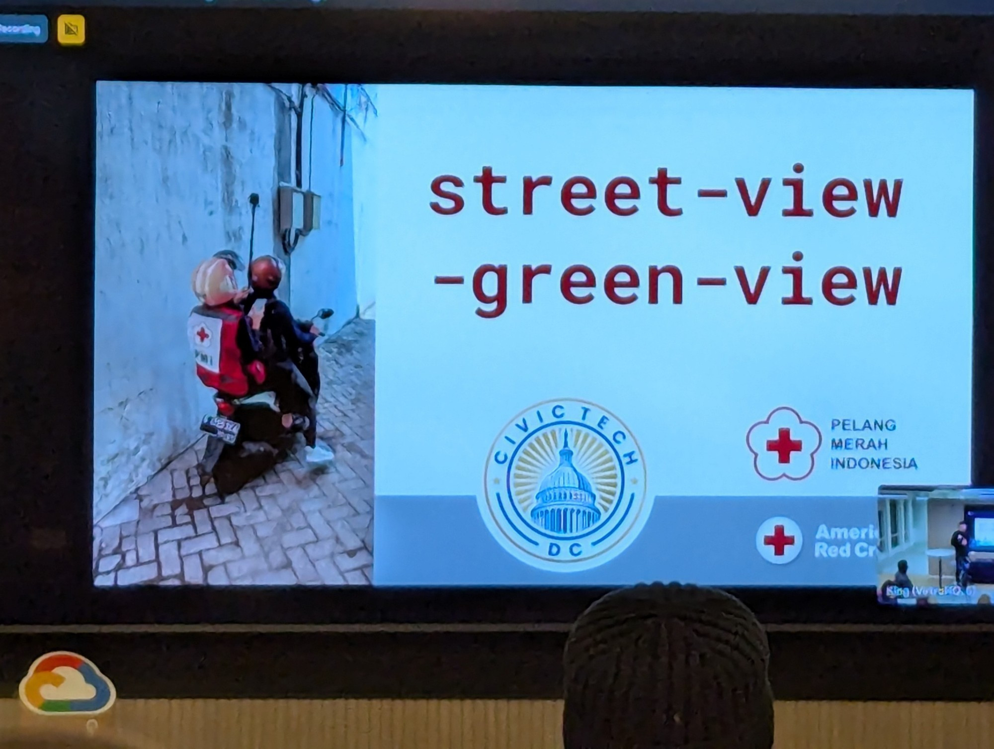
The third project ingests street-level images (think Google Maps), assess what the image shows -- a proof of concept was greenery/vegetation -- and map that analysis onto an OpenStreetMap.
Training more advanced algorithms, such analysis could be used to flag risks, such as poor building integrity.
Training more advanced algorithms, such analysis could be used to flag risks, such as poor building integrity.
1 / 2
Comments
The code: https://github.com/AmericanRedCross/street-view-green-view/
The current version takes about 3 minutes to review 500 signatures.
There's an app to test it: https://ballot-initiative.streamlit.app/
Next steps include making the algorithm even more accurate and reaching out to community partners to explore other use cases.
"There's minimal open source election tech... you have to spend a lot of money upfront to run a reasonable campaign."
The final project suping up data review for the Election Administration and Voting Survey (EAVS).
https://www.civictechdc.org/projects/eavs.html
https://www.civictechdc.org/