
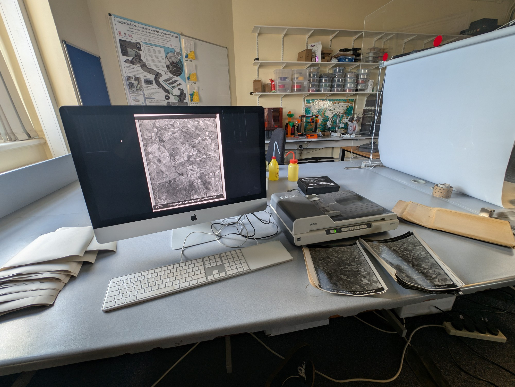
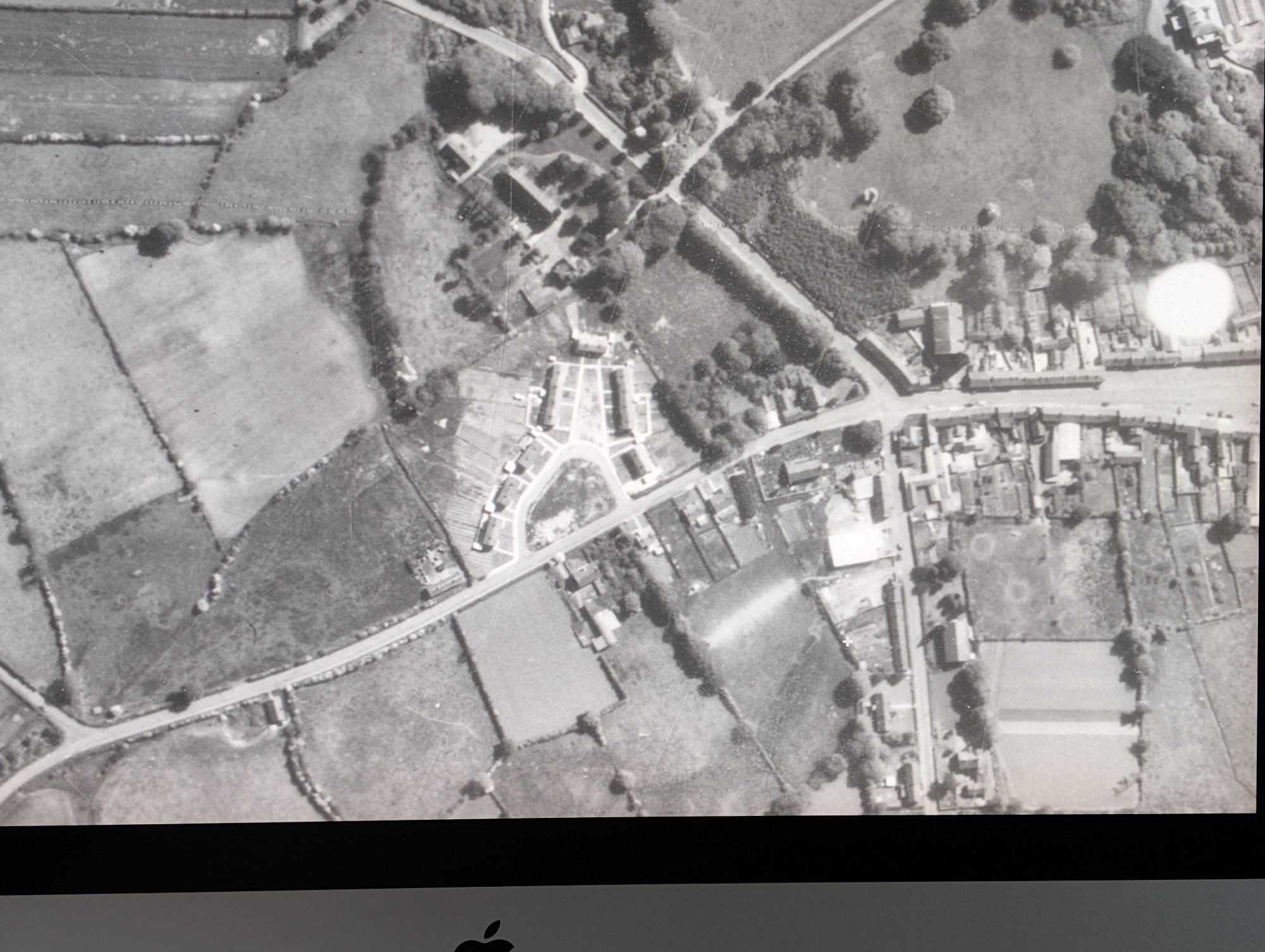
Scanner time! Another stab at digitising the QUB Geography 1950's RAF Aerial Survey archive of Northern Ireland. Scanned at 1200dpi the ground resolution is about 25cm. Lots of 🐮's not many 🚗's. Working away when I can. 👀🛩️
1 / 2
Comments