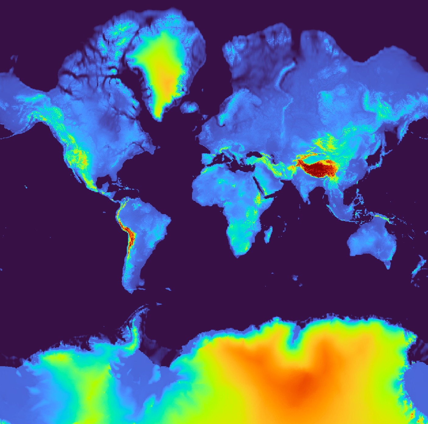
I was just making a map in QGIS and accidentally zoomed out on my digital elevation model base layer, and accidentally 'discovered' that Antartica has the highest average elevation of any continent! Genuinely very surprised.....no idea.
Comments
Log in with your Bluesky account to leave a comment

Comments