Profile avatar
landsat.bsky.social
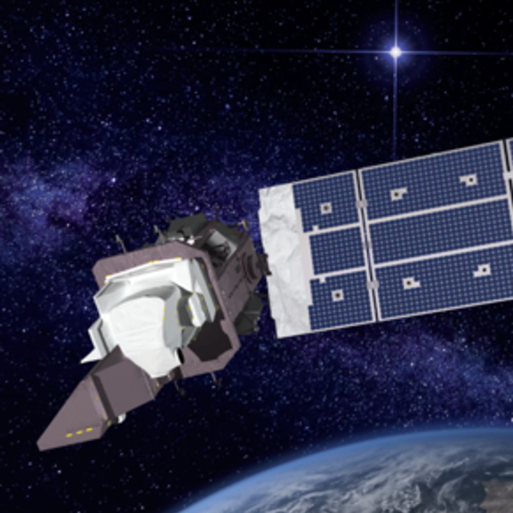
🛰️📡 Unofficial mirror/fan account for the Landsat Program, a series of Earth-observing satellites co-managed by USGS & NASA, imaging the Earth since 1972. Posts do not necessarily reflect the views of USGS or NASA.
182 posts 991 followers 931 following
Prolific Poster

#OTD in 1984, #Landsat 5 was launched into space. Far exceeding its three-year design life, Landsat 5 set a #GuinnessWorldRecord for the “Longest-operating #EarthObservation satellite.” Its longevity ensured a continuous stream of data that kept the Landsat archive intact. 🛰️🌎

Iceberg A23a is drawing significant attention as it drifts toward South Georgia and the South Sandwich Islands. A #Landsat 9 image from Feb. 26 shows it roughly 50 nautical miles from the remote islands. Learn more about the journey of A23a here: ow.ly/Cz4950V7XVl

#A23a, the world's largest iceberg, began its journey in 1986 when it calved from Antarctica's Filchner Ice Shelf. It remained grounded for the next three decades, but in 2020, it detached and began drifting north. #Landsat #eochat #gischat

Eruption of Puyehue-Cordón Caulle in Chile. Image taken by Landsat-5 back in 2011.

During the winter months, Fort Peck Lake in Montana freezes over, transforming the area into a frosty landscape that attracts outdoor recreationists.🎣⛸️ This season, the reservoir was declared fully covered with ice on January 19, 2025. Learn more here: ow.ly/Zjtn50V3bRj

A powerful storm system moved across the U.S. Southeast from Feb. 15-16, dropping up to 6 inches of rain and causing destructive flooding in parts of Tennessee and Kentucky. These false-color Landsat images show the flooding in western Tennessee. (source: NASA Earth)

Maine has roughly 6,000 named lakes and ponds—more than any other New England state. The construction of a small hydroelectric power station in the northern part of the state helped form the V-shaped Scopan Lake, visible in #Landsat imagery. ⚡ go.nasa.gov/4hlsrnj

Landsat Seen as Stunning Return on Public Investment: landsat.gsfc.nasa.gov/article/land...

Maine has roughly 6,000 named lakes and ponds—more than any other New England state. The construction of a small hydroelectric power station in the northern part of the state helped form the V-shaped Scopan Lake, visible in #Landsat imagery. ⚡ go.nasa.gov/4hlsrnj

Are you ready to unwind, relax, and explore the #Earth? One of our latest videos features a full hour of mesmerizing #Landsat images that take you on a peaceful journey of the world. Watch here: ow.ly/HftI50UYbnp

#DidYouKnow Landsat 8 was the first Landsat mission to use lunar calibration? 🌕 Every month, the satellite pivots to point at the moon and scans the distant lunar surface multiple times to ensure that the Operational Land Imager (OLI) is detecting light consistently.

Mount Etna is Europe’s largest and most active volcano. #Landsat images acquired on February 12th and 13th highlight the recent activity of Sicily's snow-capped stratovolcano. Learn more here: ow.ly/I3sM50V0uc0

Yesterday's view of Bezymianny volcano in Kamchatka. Image taken by Landsat-8/9. Panchromatic and slightly enhanced SWIR.

Mount Etna is Europe’s largest and most active volcano. #Landsat images acquired on February 12th and 13th highlight the recent activity of Sicily's snow-capped stratovolcano. Learn more here: ow.ly/I3sM50V0uc0

🦫 Researchers used #Landsat data to identify streams where beavers can be reintroduced to help improve an ecosystem. The vegetation in this image indicates where streams or creeks are flowing and reveals the benefits of beaver activity. spinoff.nasa.gov/Beavers_Buil...

#DidYouKnow Landsat 8 was the first Landsat mission to use lunar calibration? 🌕 Every month, the satellite pivots to point at the moon and scans the distant lunar surface multiple times to ensure that the Operational Land Imager (OLI) is detecting light consistently.

Are you ready to unwind, relax, and explore the #Earth? One of our latest videos features a full hour of mesmerizing #Landsat images that take you on a peaceful journey of the world. Watch here: ow.ly/HftI50UYbnp

🦫 Researchers used #Landsat data to identify streams where beavers can be reintroduced to help improve an ecosystem. The vegetation in this image indicates where streams or creeks are flowing and reveals the benefits of beaver activity. spinoff.nasa.gov/Beavers_Buil...

🍊 Fresh Imagery (Feb 10, 2025) Emi Koussi in Chad was observed today by Landsat 8. It's the largest volcano in the Sahara. earthexplorer.usgs.gov/scene/metada...

Want to visualize Landsat images in EarthExplorer from a fresh perspective? EarthExplorer now offers a suite of Browse Overlay Options, allowing you to display different band combinations and spectral indices. Learn more by checking out EarthExplorer Help: ow.ly/vNFe50TvGvL

Want to visualize Landsat images in EarthExplorer from a fresh perspective? EarthExplorer now offers a suite of Browse Overlay Options, allowing you to display different band combinations and spectral indices. Learn more by checking out EarthExplorer Help: ow.ly/vNFe50TvGvL

🍊 Fresh Imagery (Feb 10, 2025) Emi Koussi in Chad was observed today by Landsat 8. It's the largest volcano in the Sahara. earthexplorer.usgs.gov/scene/metada...

I spy Caesers Superdome in this Landsat imagery 🛰️#SuperBowl

Yesterday's view of Kilauea volcano. Image taken by Landsat-8/9 on Feb. 9, 2025. Panchromatic and enhanced SWIR.

The Chesapeake Bay region has experienced substantial population growth over the last several decades. #AnnualNLCD leverages nearly four decades of #Landsat data to help understand the extent, patterns, and impacts of land cover change. Learn more here: ow.ly/eMJE50UW0ig

The Chesapeake Bay is a complex system that faces several challenges, including water level fluctuations. The #Landsat Level-3 Dynamic Surface Water Extent science product offers a powerful resource to help monitor these changes over time. Learn more here: ow.ly/atwz50UVn34

🍊 Fresh Imagery (Feb 2, 2025) North Sea Coast near The Hague in the Netherlands was observed today by Landsat 9. The Hague is famously the home of the ICC, which prosecutes crimes against humanity, crimes of aggression, genocide and war crimes around the world.

🍊 Fresh Imagery (Feb 7, 2025) Sand dune fields ("ergs") in Algeria were observed today by Landsat 8. The sun's angle this time of year accentuates the texture of the region. earthexplorer.usgs.gov/scene/metada...

The #Landsat Level-2 Provisional Aquatic Reflectance science product can be paired with on-the-ground assessments to enhance water quality monitoring. Possible applications include water color classification and algal bloom mapping. Learn more: ow.ly/i4iF50UUyPA

“Dog days” of summer in #Antarctica? It’s certainly not the version of hot weather that comes to mind, but the peak of the Austral Summer brings a period of thaw and a flurry of unique activity. Surface melting on the Amery Ice Shelf has led to the formation of meltwater ponds.

🫡 Valerie Thomas, who oversaw the creation of NASAs Landsat program, enabling us to get images of Earth from space An HBCU grad, she won Goddard Space Flight Center Award of MERIT & the NASA Equal Opportunity Medal (before equity/equal opportunity was redefined to mean "unqualified”) #BlackHistory

🍊 Fresh Imagery (Feb 4, 2025) Nauru (an 8 square mile island country) was observed today by Landsat 8. It seems nice. If anybody needs me, that's where I'll be. earthexplorer.usgs.gov/scene/metada...

A #Landsat 9 image acquired on January 30, 2025, reveals progress on the Omkareshwar Dam Floating Solar Power Project in Madhya Pradesh, India. Once completed, the 600-megawatt project will span an area of roughly 12 square kilometers. Learn more here: ow.ly/N21y50USygJ

Join us on a journey of the Chesapeake Bay over the next couple of days! With the help of #Landsat data and science products, we will unveil satellite-based perspectives of this iconic estuary and explore its beauty and complexity. Learn more here: ow.ly/qVNR50UU9W1

Join us on a journey of the Chesapeake Bay over the next couple of days! With the help of #Landsat data and science products, we will unveil satellite-based perspectives of this iconic estuary and explore its beauty and complexity. Learn more here: ow.ly/qVNR50UU9W1

A #Landsat 9 image acquired on January 30, 2025, reveals progress on the Omkareshwar Dam Floating Solar Power Project in Madhya Pradesh, India. Once completed, the 600-megawatt project will span an area of roughly 12 square kilometers. Learn more here: ow.ly/N21y50USygJ

🍊 Fresh Imagery (Feb 4, 2025) Nauru (an 8 square mile island country) was observed today by Landsat 8. It seems nice. If anybody needs me, that's where I'll be. earthexplorer.usgs.gov/scene/metada...

(from NASA EO) Is it the letter S? Is it a lightning bolt? No, it’s Japan’s Sado Island! Two parallel mountain ranges of volcanic origin define the island, separated by an alluvial plain. In the hills, volcanic activity formed gold and silver deposits. 🌋 go.nasa.gov/40PGWdk

🍊 Fresh Imagery (Feb 4, 2025) Lake Carnegie in Western Australia was observed today by Landsat 8. The lake is currently dry with a white crust of lakebed salt. "Ephemeral lakes" like this one alternate between wet & dry modes as water availability fluctuates. earthexplorer.usgs.gov/scene/metada...

🍊 Fresh Imagery (Feb 3, 2025) The Sirindhorn Dam Reservoir in Thailand was observed today by Landsat 9. Over 144,000 floating solar panels were installed in 2021 to generate renewable energy and reduce evaporative water loss.

Popocatepetl volcano in Mexico. Image taken by Landsat-8/9 on Jan. 29, 2025.

🍊 Fresh Imagery (Feb 3, 2025) Swirls of sediment were observed today by Landsat 9 in the Gulf of Oman. earthexplorer.usgs.gov/scene/metada...

🍊 Fresh Imagery (Feb 3, 2025) Sediment and sub-surface structures near the island of Tidra in Banc d'Arguin National Park (Mauritania) were observed today by Landsat 9. earthexplorer.usgs.gov/scene/metada...

🍊 Fresh Imagery (Feb 2, 2025) Further melting on Amery Ice Shelf in Antarctica was observed today by Landsat 8. earthexplorer.usgs.gov/scene/metada...

🍊 Fresh Imagery (Feb 3, 2025) The Sirindhorn Dam Reservoir in Thailand was observed today by Landsat 9. Over 144,000 floating solar panels were installed in 2021 to generate renewable energy and reduce evaporative water loss.

🍊 Fresh Imagery (Feb 3, 2025) Sediment and sub-surface structures near the island of Tidra in Banc d'Arguin National Park (Mauritania) were observed today by Landsat 9. earthexplorer.usgs.gov/scene/metada...

🍊 Fresh Imagery (Feb 3, 2025) Swirls of sediment were observed today by Landsat 9 in the Gulf of Oman. earthexplorer.usgs.gov/scene/metada...

🍊 Fresh Imagery (Feb 2, 2025) Not a cloud in the sky today as New Orleans and the Mississippi River delta were observed by Landsat 8. This dynamic ecosystem is defined by the hydrology of North America's largest river system flowing into the Gulf of Mexico. earthexplorer.usgs.gov/scene/metada...