Profile avatar
parlconst.bsky.social
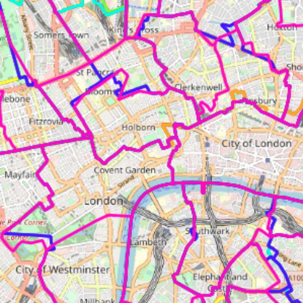
Mapping the changing evolution of the UK's Parliamentary Constituencies parlconst.org
1,335 posts 649 followers 33 following
Regular Contributor
Active Commenter

The parish of Seaborough was in South Somerset from 1885 to 1918 before transferring to the West Dorset constituency, where it has remained ever since. Correcting this has created a new sub-Area 17 in the Dorset Area Map & Table. www.parlconst.org/new-constituency-groups/south-west/52-dorset

The Rode Hill area of the village of Rode (formerly Road) was in Wiltshire until 1937 and Westbury constituency until 1950. Showing this correctly has created a new sub-Area 12 in Area Map & Table 49b. www.parlconst.org/new-constituency-groups/south-west/49-somerset

A number of corrections have been made to boundaries in Gloucestershire. The most significant error was previously showing the 1918-1950 boundaries as recommended by the 1917 Boundary Commission, whereas the actual implementation had Tetbury RD in Cirencester & Tewkesbury and not in Stroud.

Between 1885 and 1918 the far north-western part of Malvern was in Herefordshire (Leominster constituency). This is now reflected in a new sub-Area 9 in Area Map & Table 45b. parlconst.org/new-constituency-groups/west-midlands/45-herefordshire-and-worcestershire

A northern part of Newport in Shropshire had been in Staffordshire until the 1960s (and in Stafford & Stone constituency until 1974). Correcting this has created a new sub-Area 6 in the Shropshire Area Map & Table. www.parlconst.org/new-constituency-groups/west-midlands/44-shropshire

Upper Ipsley was created as a parish in 1894, being the part of Ipsley which joined Redditch UD. However it remained part of Warwickshire for parliamentary purposes until 1918. This was previously wrong on the website, but now remedied with a new sub-Area 20 in Area Map & Table 45c.

The boundary maps on the @parlconst.bsky.social website were largely created by working backwards in time and noting changes. Problems sometimes arise when the constituent parts of constituency don't change in a review, but the boundaries of one or more of those parts has changed slightly. (1/4)

A new sub-Area 9 has been added to Area Map & Table 38d - Birmingham (South) to reflect the current couple of streets that would have been in Birmingham S constituency from 1885 - 1918 (not Worcestershire E) and then transferred to Birmingham Moseley in 1918. www.parlconst.org/new-constitu...

There were an awful lot of very minor changes to county boundaries in the early 1990s. Have just finished three days solid work trying to make sure that Derbyshire's pre-1997 boundaries are shown correctly on the parlconst.org website. (1/2)

A question for those who download boundary datasets from the website. Because of the way uMap (which hosts the zoomable maps) used to position the showing of the constituency name, the website maps (in England only) treat each detached part of a constituency as a separate feature. (1/4)

Multiple minor corrections have been made to the website maps showing the boundary between Nottinghamshire and Yorkshire before 1997, mainly relating to the boundary of Bassetlaw constituency. In most cases these changes are too small to be reflected in the in the Area Maps & Tables.

I've always been impressed by @natlibscot.bsky.social maps, but today they really excelled. I noticed a technical problem with their website this morning, so I e-mailed them. Despite being Sunday, they replied just over half an hour later to apologise and to say that it had been fixed.

The website has been updated to add a new sub-Area 33 to Area Map & Table 35a (Lincolnshire (Kesteven & Holland) and Rutland) to reflect that prior to 1918 this part of Wingland Parish was in Norfolk. www.parlconst.org/new-constitu...

Where constituency boundaries are over water (e.g. in an estuary), the maps on the website do not attempt to replicate the precise line of the boundary, as sometimes this arbitrarily changes. In a very few cases this could cause slight anomalies when an area has been reclaimed and built upon.

The 1885 - 1918 boundary of King's Lynn has been corrected in South Lynn, resulting in a slightly smaller estimate of the size of the 1885 - 1918 King's Lynn constituency. www.parlconst.org/new-constituency-groups/east-anglia/31-norfolk

There aren't Bluesky posts about very minor corrections to boundary maps that are not big enough to generate a change to the sub-Areas. However, all changes that are made are listed on the website's changelog: www.parlconst.org/information-about-the-site/changelog

Correction. In the period 1885 - 1918 the Broadwater Down area of Tunbridge Wells (sub-Area 27a) was in Rye constituency. It is sufficiently large to warrant a dotted line on the Constituency Charts from Rye to Tonbridge in 1918. www.parlconst.org/new-constituency-groups/south-east/28-kent-west

I am on my travels in Dundee at the moment. Glad to see the city remembers Winston Churchill as its MP. Still looking for similar memorials to Edwin Scrymgeour, Dingle Foot and Florence Horsbrugh, among others.

Another minor correction. Up until the 1990s the Baldwins Hill area of East Grinstead (new sub-Area 20) was part of Surrey, and was in either Reigate or East Surrey constituency from 1885 until 1997. www.parlconst.org/new-constituency-groups/south-east/26-west-sussex

A couple more corrections. The Faberstown area of Ludgershall in Wiltshire was in Hampshire until the 1990s. Correcting this creates a new sub-Area, 20b, with the same constituency history as the previous Wiltshire sub-Area 20. www.parlconst.org/new-constituency-groups/south-west/46-wiltshire

Minor corrections to the website continue. There was a realignment of the county boundary between Berkshire and Hampshire, in several places near Tadley, in the 1990s. The pre-1997 constituency boundaries were incorrectly shown. www.parlconst.org/new-constituency-groups/south-east/24-hampshire-west

Unfortunately, the index and changelog tables on the website are currently not displaying correctly in some versions of the Firefox browser. If you have this problem, please click on the link when you hover over the table to open as a spreadsheet in a new window. www.parlconst.org/information-...

To the NE of Milton Keynes the boundary with Bedfordshire follows the M1 motorway for a short way. This wasn't the case before 1997. Correcting this results in a new sub-Area 9, which was undeveloped at the time of the transfer. www.parlconst.org/new-constituency-groups/south-east/20-buckinghamshire

Last month the ONS released for the first time accurate boundary datasets for the wards in place at the time of the 1971 and 1981 censuses. This will help enormously, as it covers the period when it has been most difficult for the parlconst project to create constituency boundaries, because: (1/2)

Another correction. Up until 1997 a small part of the now built-up outskirts of Bishop's Stortford were outwith the town and were in Essex. Showing this correctly has resulted in a new sub-Area 65 in Area Map & Table 18b. www.parlconst.org/new-constituency-groups/south-east/18-hertfordshire

I've been a bit quiet recently, but one of my regular correspondents has sent me a list of boundary corrections, mainly affecting the 1885 boundaries. I won't report on all these here, but changes to boundary maps will be noted on the Changelog: www.parlconst.org/information-about-the-site/changelog