parlconst.bsky.social
Mapping the changing evolution of the UK's Parliamentary Constituencies
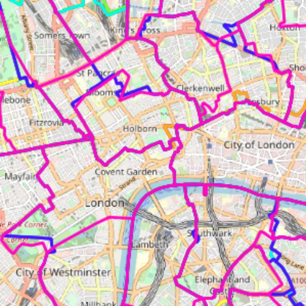
parlconst.org
1,336 posts
649 followers
33 following
Regular Contributor
Active Commenter
comment in response to
post
For details of the other changes that have been made in Gloucestershire please see the websites changelog.
comment in response to
post
These changes to Dudley have created five new sub-Areas, the most significant of which is a new sub-Area 9 (split into disjoint parts 9a & 9b), which had been in Bilston prior to 1955.
This, and some other more minor changes in Staffordshire, have been updated on the website.
(4/4)
comment in response to
post
I've been down the rabbit hole of the Dudley Extension Act for the past two days and have concluded that I had been misrepresenting the boundaries of Dudley before 1955. In particular, there was a transfer from Bilston significant enough to be shown as a dotted line on the Constituency Chart.
(3/4)
comment in response to
post
A particular case has been what happened to the boundaries of Dudley constituency in 1955. Dudley constituency continued to be comprised of Dudley CB and Stourbridge MB. However, the Dudley Extension Act 1953 had changed the boundaries of Dudley CB.
(2/4)
comment in response to
post
Disgracefully, the previously available on-line copies of the LGBCE reports from that era (as linked to from the Wikipedia article) have disappeared. (The SIs enacting them are still available, but are less descriptive.)
Does anyone know of another source for these reports?
(2/2)
comment in response to
post
It would be fascinating to create notional results for redrawn boundaries prior to 1983, but I think a virtually impossible task.
comment in response to
post
Thanks Carl. That's how I have it for my working files, but had been disaggregating them for display on the website. As the display considerations no longer seem to apply, it would make my life easier to have them as just one feature.
comment in response to
post
If you have views on this, let me know which you prefer when you download a boundary dataset:
(i) each constituency as one feature (even if it is comprised of several detached parts);
(ii) each detached part of a constituency as a separate feature).
(4/4)
comment in response to
post
By having each constituency as one feature, you may be less likely to overlook detached parts. But there may be advantages to having each detached part as a separate feature that I have not considered.
(If you never download boundary datasets and this is all gobbledygook, my apologies.)
(3/4)
comment in response to
post
As uMap now displays the constituency name wherever the cursor is positioned (rather than at the centroid of one detached part as before), it is probably more useful to have each constituency as one feature (even if it spans several detached parts).
(2/4)
comment in response to
post
A new sub-Area 20 has been added to Area Map & Table 58b. It covers a small area to the west of (the now closed) Doncaster Sheffield Airport, which had been in Bassetlaw constituency from 1885 - 1918, after when it was in Don Valley.
www.parlconst.org/new-constitu...
comment in response to
post
A new sub-Area 1 has been added to Area Map & Table 36b, covering a couple of streets in Harworth (Notts), which is now in Bassetlaw, but was in Don Valley constituency prior to 1997, before the boundary was realigned to the A631 road.
www.parlconst.org/new-constitu...
comment in response to
post
It's actually worse than you suggest. Labour polled just 7.5% of the electorate.
comment in response to
post
From 1885 to 1918 there was part of Horsham constituency (in Sussex) intruding into Hampshire near Liphook. This is shown as a new sub-Area 1 on the Surrey Area Map & Table, because it is now within the cross-border Farnham & Bordon.
www.parlconst.org/new-constituency-groups/south-east/25-surrey
comment in response to
post
Yes - it's weird what memories stick with you. It was just the kids singing it in the playground, IIRC, rather than the school making us sing it.
comment in response to
post
I remember singing that song in primary school. I thought it was fairly naff then, but nearly 60 years on since I last heard it, it's much worse than I thought.
comment in response to
post
Sorry I can't be with you tonight (nor tomorrow), but I'm having a lovely dinner in Ancona this evening.
comment in response to
post
Correcting this has resulted in one new sub-Area In Berkshire, new sub-Area 12, and two new sub-Areas in Hampshire (West), sub-Areas 3 & 7.
www.parlconst.org/new-constituency-groups/south-east/21-berkshire
comment in response to
post
Mayfield ward is different from its south Ilford neighbours by having a large number of bungalows. It also used to be the only safe Conservative ward in south Ilford. Its boundaries have shifted westwards in recent years, making it less exclusively bungalow-land.
comment in response to
post
The news likes to portray the negative. I had a couple of interviews with the BBC when in Paris two weeks ago when all trains were cancelled. My story "I'm catching a bus to Lille & will get a train to London from there" wasn't used, instead they preferred "I'm stuck & haven't a clue what to do".
comment in response to
post
It was complicated around there in 1885. Govan became a Parliamentary Burgh in 1885, having being created as a Burgh in 1864, and transferring to Lanarkshire in 1892. Govan PB also had a detached part to the east. West Renfrewshire constituency had a detached part north of the Clyde.
comment in response to
post
- The Boundary Commission's Second and Third Periodic Report maps were not very detailed;
- OS maps for this period are largely still in copyright and are not available online.
geoportal.statistics.gov.uk/datasets/056...
(2/2)
comment in response to
post
The most substantial change so far has been to correctly show the site of the former Enfield Royal Small Arms factory (now occupied by housing knows as Enfield Island Village) as being in Essex prior to 1997.
www.parlconst.org/new-constituency-groups/london/7-barnet-enfield-and-haringey