
A few days ago, I looked at how the international border through The Great Lakes was determined.
But what about the border west of Lake Superior?
It took decades to determine and wasn't just "drawn with a ruler by some guy".
Let's learn more!
🧵1/13
But what about the border west of Lake Superior?
It took decades to determine and wasn't just "drawn with a ruler by some guy".
Let's learn more!
🧵1/13
Comments
Because I think that’s the main issue south of the - the - what do we call it?
49th parallel.
“Latitude” - you can sound it out Donnie - we know you can.
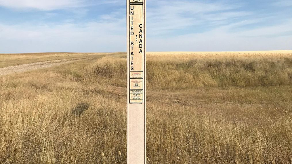
That 197 sq-km area came about due to treaties and a limited understanding of the geography west of Lake Superior.
🧵2/13
It extends for 2,030 kilometres.
Having this as a border was first proposed before the United States even existed, back in 1714 by the Hudson's Bay Company.
🧵3/13
🧵4/13
The northern part of this new territory extended into present-day southern Alberta and Saskatchewan.
🧵5/13
Due to a lack of precise surveying, there were boundary disputes.
🧵6/13
This proposal meant both sides gained and lost territory, but the United States gained more territory than it lost in the decision.
🧵7/13