
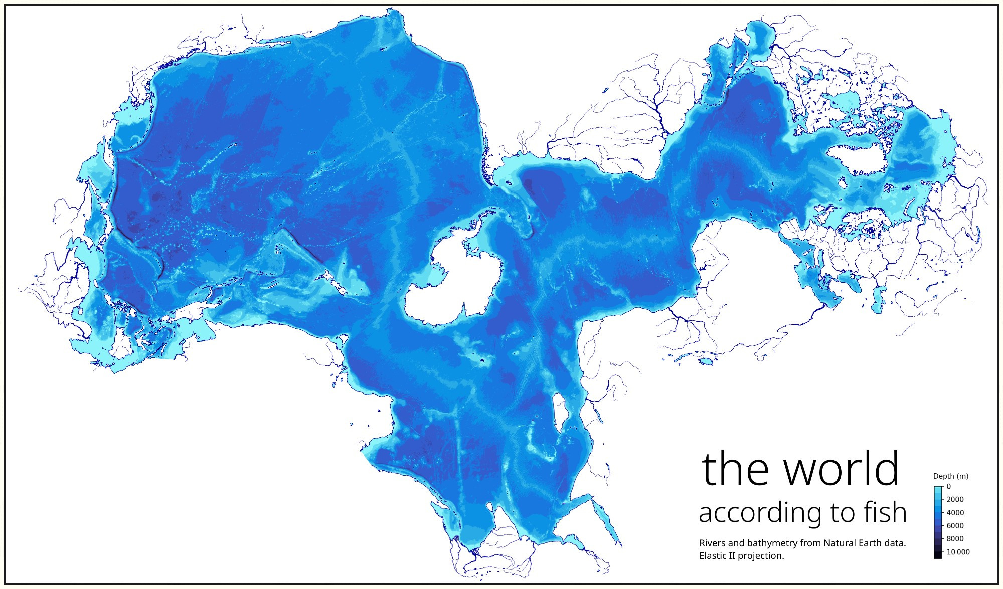
I am fascinated by alternative centering on maps, and this one captures my imagination: "the world according to fish", showing the rivers, lakes and oceans, with ocean floor elevations.
The world aquatic.
The world aquatic.
Comments
But there are others.
This one’s a little harder to interpret because the actual map area doesn’t end up
Until I had to read and retype GPS co-ords for a job, I never realized I was about the same latitude as Edmonton. Even on a globe, I'd never seen the two together.
https://upload.wikimedia.org/wikipedia/commons/3/34/Gall%E2%80%93Peters_projection_SW.jpg