geoviews.bsky.social
Geographer + accidental cartographer. Posting about geography, maps & more.
https://geoviews.net/
81 posts
1,714 followers
92 following
Prolific Poster
Conversation Starter
comment in response to
post
The RUV livestreams should give a good view when (if) the eruption reaches the surface: www.youtube.com/live/kXD4A9u...
comment in response to
post
Thanks @fil.rezo.net for pointing me to this resource!
comment in response to
post
At least the Natural Earth Quick Start project files address this visually to some degree, though the geometries are an issue IMO (which may also apply to other disputed areas). At least the data is old enough to not have problems with more recent geopolitical claims ;-) www.naturalearthdata.com
comment in response to
post
I know that this is documented in the changelog and that there are explicit notes and alternative data on the download pages - eventually the map maker is to blame. But I think it's still problematic to have such 'de facto' boundaries in a default dataset that is used by many non-professionals.
comment in response to
post
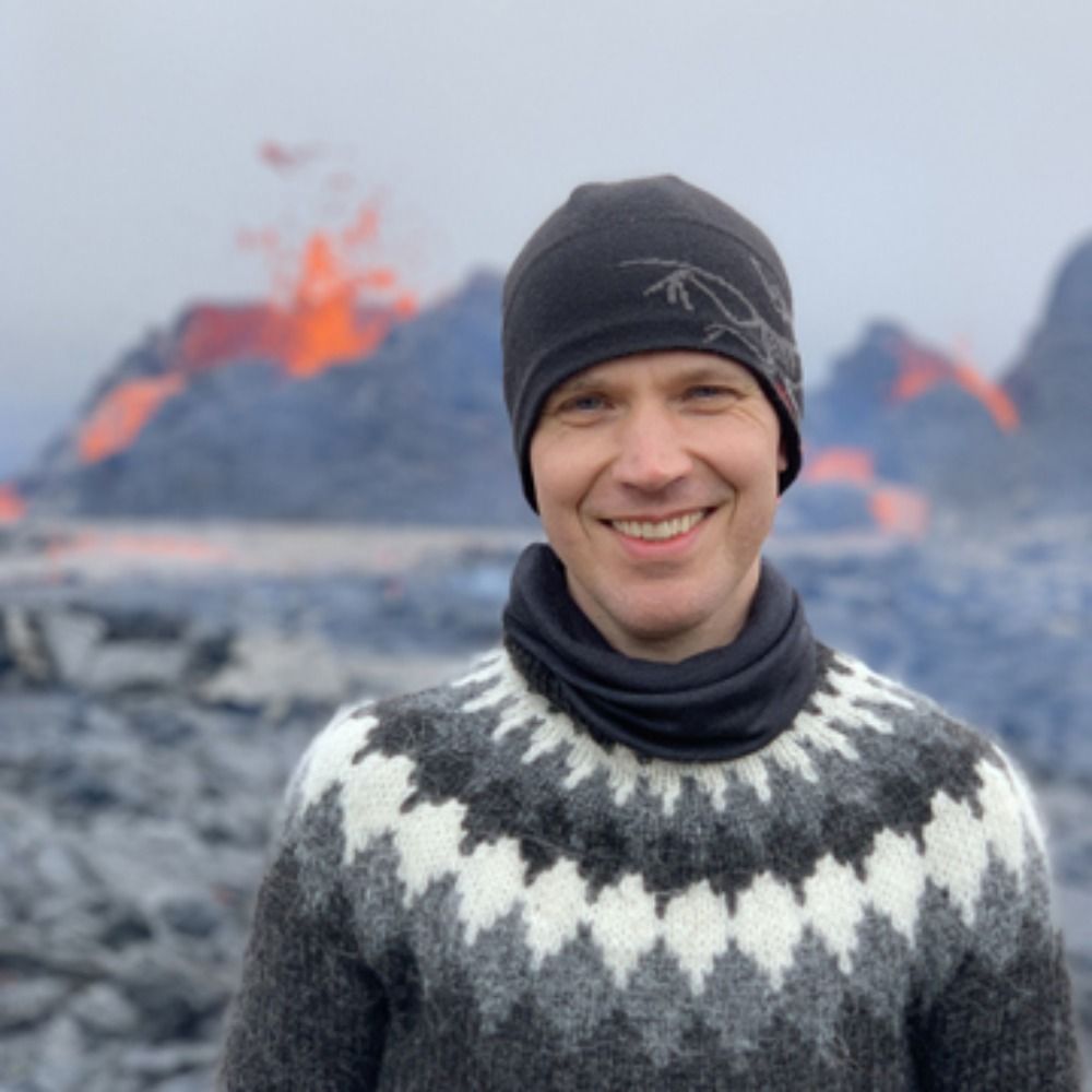
Reykjavík, Iceland. Sunset at 15:49 today :-)
comment in response to
post
Dream job! Unfortunately I am underqualified 😬
comment in response to
post
There is nothing ‘cheaply on the web‘ in Iceland. There are these guys: www.skatturinn.is/english/comp... and also some obscure ‘handling fees’ plus ‘sending fees’ (yes, for receiving shipments) from these guys: posturinn.is/en/individua...
Altogether I reckon a cookie cutter comes at 30+ quid…
comment in response to
post
British Isles? I‘m glad you are not a geography teacher…oh, wait 😅
comment in response to
post
The cookie cutter was a freebie by the German Embassy. Waiting for the British Embassy to follow suit!
comment in response to
post
Further cartographic baking instructions: For cartogram cookies, add extra baking powder proportional to the respective data values across the map cookie.