
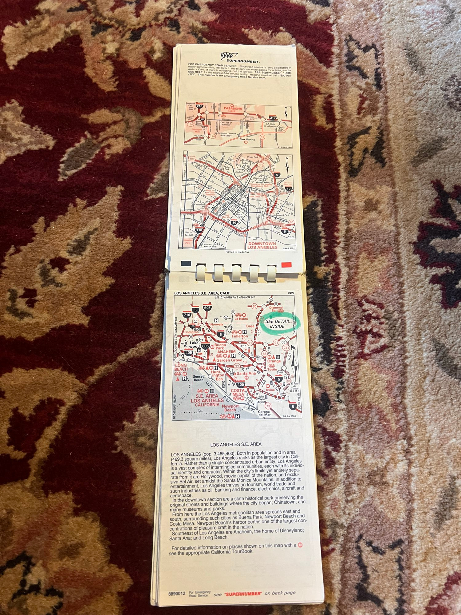
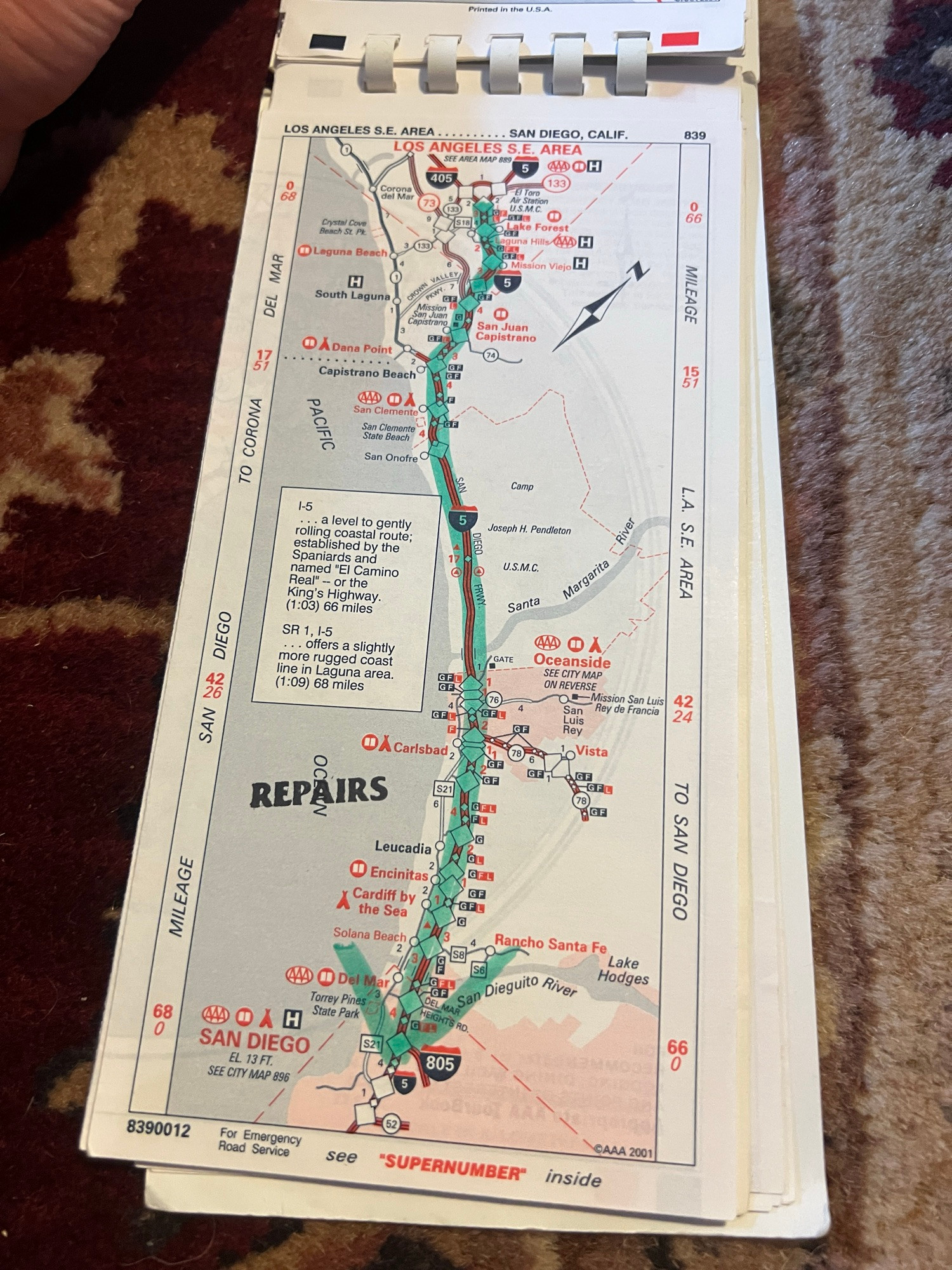
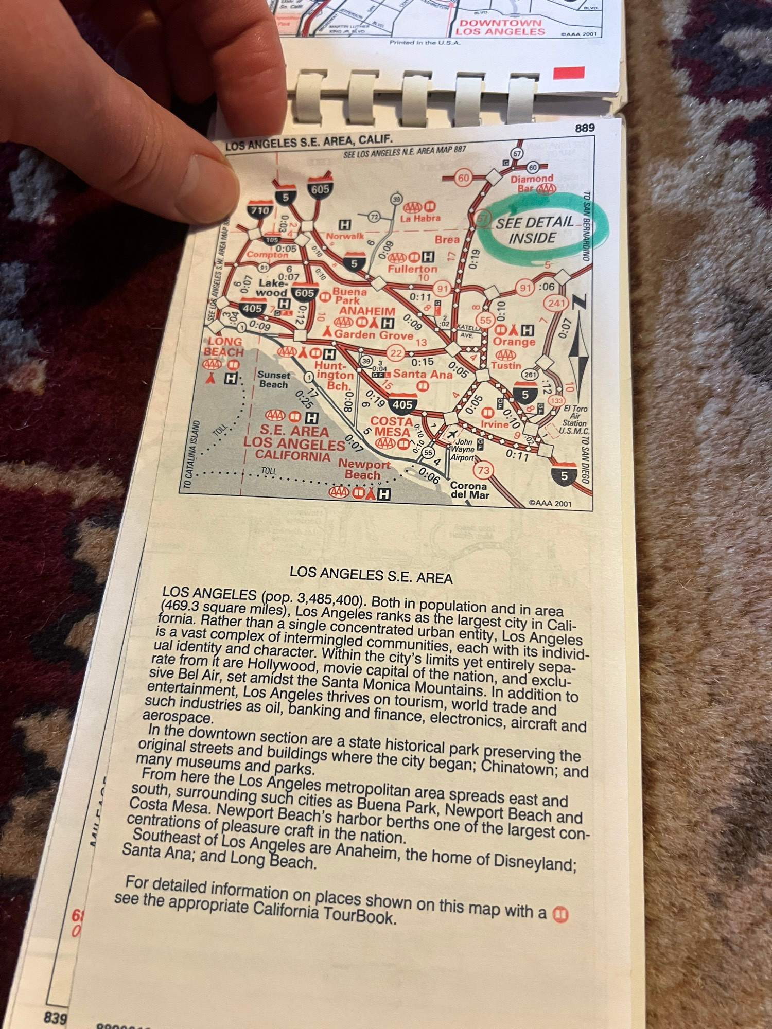
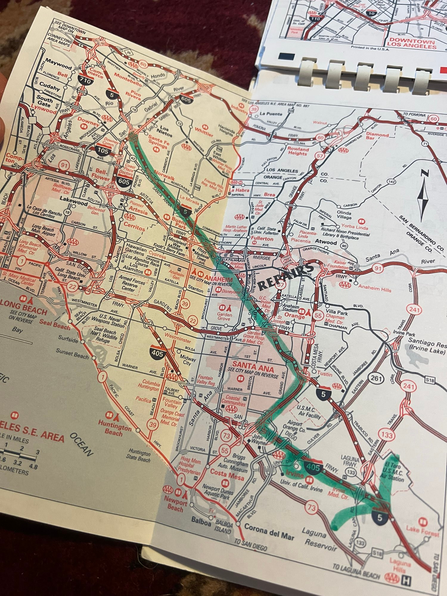
Before gps you got a TripTik and they’d put together panels for your trip, trace it in a marker and stamp where construction/detours were. Weeks would go by then you’d use it, matching reality w basic & distant information. Life was known but unknown.
1 / 4
Comments
Our family took plenty of road trips but we were either too cheap or too proud or too déclassé to ever join the AAA. We used gas station maps and free state DOT maps
We just used the maps you would buy in a gas station.
If you’re doing point-to-point navigation by car, maybe you’d want live GPS turn-by-turn directions. But for just getting around and seeing a city, a paper map is irreplaceable.
My sister and her husband were a bit surprised when I said (when asked) I wanted an atlas for Christmas.
But look at this I’m in love
You input the info on the website and it spits out a printable set of maps, very much like the OG Triptiks, even if it lacks the romance of the plastic-ring-bound, coffee-stained, hand-hilighted maps of old (with gas and resto info etc., as desired)